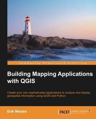
Book Description
Create your own sophisticated applications to analyze and display geospatial information using QGIS and Python
About This Book
- Make use of the geospatial capabilities of QGIS within your Python programs
- Build complete standalone mapping applications based on QGIS and Python
- Use QGIS as a Python geospatial development environment
Who This Book Is For
If you are an experienced Python developer who wants to create your own geospatial applications with minimum fuss, this is the book for you. While some familiarity with mapping applications would be an advantage, no prior knowledge of geospatial concepts is required. Even if you’ve never used QGIS before, this book will quickly get you up to speed.
In Detail
QGIS is one of the premiere open source Geographical Information Systems. While developing Python geospatial applications can be challenging, QGIS simplifies the process by combining the necessary geoprocessing libraries with a sophisticated user interface, all of which can be directly controlled using Python code.
Starting with an introduction to QGIS and how to use the built-in QGIS Python Console, we will teach you how to write Python code that makes use of the geospatial capabilities of QGIS. Building on this, you will ultimately learn how to create your own sophisticated standalone mapping applications built on top of QGIS. You will learn how to use the Python Console as a window into the QGIS programming environment, and then use that environment to create your own Python scripts and plugins to customize QGIS. As your knowledge of the PyQGIS library grows, you will use it to perform a variety of real-world geospatial programming tasks, culminating in the creation of your own complex standalone applications to load, analyze, and display geospatial data.
Table of Contents
Chapter 1: Getting Started with QGIS
Chapter 2: The QGIS Python Console
Chapter 3: Learning the QGIS Python API
Chapter 4: Creating QGIS Plugins
Chapter 5: Using QGIS in an External Application
Chapter 6: Mastering the QGIS Python API
Chapter 7: Selecting and Editing Features in a PyQGIS Application
Chapter 8: Building a Complete Mapping Application using Python and QGIS
Chapter 9: Completing the ForestTrails Application
中文:
书名:Building Mapping Applications with QGIS
创建您自己的复杂应用程序,以使用QGIS和Python分析和显示地理空间信息
关于本书
- 在您的Python程序中使用QGIS的地理空间功能
- 基于QGIS和Python构建完整的独立制图应用程序
- Use QGIS as a Python geospatial development environment
这本书是为谁写的
如果您是一位经验丰富的Python开发人员,希望以最小的麻烦创建自己的地理空间应用程序,这是一本适合您的书。虽然熟悉一些地图应用程序将是优势,但不需要事先了解地理空间概念。即使你以前从未用过QGIS,这本书也会很快让你熟悉。
详细地说
QGIS是首屈一指的开源地理信息系统之一。虽然开发Python地理空间应用程序可能具有挑战性,但QGIS通过将必要的地理处理库与复杂的用户界面相结合来简化这一过程,所有这些都可以使用Python代码直接控制。
从介绍QGIS和如何使用内置的QGIS Python控制台开始,我们将教您如何编写利用QGIS的地理空间功能的Python代码。在此基础上,您最终将学习如何创建自己的复杂独立地图应用程序,这些应用程序构建在QGIS之上。您将学习如何使用Python控制台作为进入QGIS编程环境的窗口,然后使用该环境创建您自己的Python脚本和插件来定制QGIS。随着您对PyQGIS库知识的增长,您将使用它来执行各种实际的地理空间编程任务,最终创建您自己的复杂独立应用程序来加载、分析和显示地理空间数据。
目录表
第1章:QGIS入门
Chapter 2: The QGIS Python Console
第3章:学习QGIS PythonAPI
第4章:创建QGIS插件
第5章:在外部应用程序中使用QGIS
第6章:掌握QGIS PythonAPI
第7章:在PyQGIS应用程序中选择和编辑要素
第8章:使用Python和QGIS构建完整的制图应用程序
第9章:完成ForestTrails应用程序
评论前必须登录!
注册